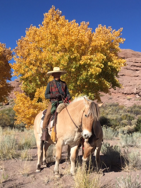
When I rode through Pie Town in 2006 from the west 2500 miles or so into a 5000 mile ride, a snow storm came raging in from the east stopping me dead in my tracks. While snow piled up in Pie Town I stayed warm in a tar-paper shack, with a million dollar view. I stayed 7 days.
The tar paper shack is now gone, new business have opened, many shacks have disappeared. I won’t tell you much more about the ride in 2006 because my week in Pie Town became a chapter in my book, you’ll be able to read about it.


The town has not changed that much. It’s a town about PIES now that’s a good thing, lots of pies. Its just off the Continental Divide Trail and hosts hikers working their way up and down the roughed trail. Travelers racing by on Hwy 60 slow down when they see “Pies Ahead.”
Days are warm and sunny but last night the temperature dropped to 12 degrees, Rosie says with a smile, “We’re going further south.”
Knowing where you are going and how best to get there is a good thing.
Or Why I love my Benchmark Maps.
Benchmark Maps sponsor my rides – atlas@benchmarkmaps.com
Today I received new maps for New Mexico and California, I already had a Benchmark Arizona Map book for this ride. Now you must understand these are not just any old map books. The Benchmark State by State Road and Recreation Atlas minutely details each state with back roads, forest service roads, 4-wheeler roads, trails, even power-line roads and much, much more.
The pages have light color back grounds that makes for easy reading. I look at my maps morning noon and night, over meals, on the back of my horse, over a cup of coffee. When stepping up to a stranger asking for direction my Benchmark Map book is in my hand.
Without my Benchmark Map I feel lost. Each book has a large U.S. highway map then a regional map then recreational maps of the state followed by landscape maps full of information that keeps me awake nights looking, looking, looking, and usually discovering, “Ah there – that way will work, we can take this back road and connect up with that one.” Most of my rides are recorded on Benchmark Maps – complete with dates, campsites, people I stayed with and comments about weather and terrain.
Why no GPS? Many of you can understand when I say, “I want to feel the book and I can SEE where I will be going in relation to where I am.” Then I mark the route and plan, always planning another route. But also accepting the fact that it can be changed.


Each book contains information about the state, climate, attractions, notable towns, campgrounds and RV parks, Tribal Lands, National Parks and Monuments. I read and study each page with interest. These maps are as much a part of my rides as my Tucker Saddle.
IF you take a road trip, don’t leave without a Benchmark Road and Recreation Atlas. And when you return with stains from coffee and juice spills and tears from reading and rereading a page, with pen marks and phone #’s, you’ll look again at your trip, at your adventure refreshing those memories with ohhs and ahhs that no GPS can record.
Happy Trails
Last weeks ride thru
SanLorenso Canyon